Drone mapping has transformed the way businesses capture, analyse, and present information about land, buildings, and infrastructure. Whether you’re surveying a construction site, planning land development, monitoring natural landscapes or agricultural fields, drone-generated 2D and 3D maps offer an efficient, safe, and accurate way to see the full picture.
Please note we offer lower-cost Non-RTK mapping service but can direct you to RTK provider if required. See below for the difference between RTK & Non-RTK.
2D Mapping
2D maps (orthomosaics) give you a detailed, top-down view of your site. These stitched-together images are perfect for:
Site planning and progress tracking
Environmental and landscape assessments
Asset inspection and documentation
Below is a 2d (othomosaic) map created of the Nesscliffe Hillfort for Shropshire Council’s Outdoor Recreation department during a recent archeological excavation. As you can see it is overlaid on top of an existing Google map. You can zoom in and out by using the ‘+’ & ‘-‘ buttons. You can also use the line, polygon, square and circle tools to measure distances and areas. Right click anywhere on the map to get longtitude and latitude!
RTK vs Non-RTK Drones: What’s the Difference?
Using an RTK drone increases the accuracy of mapping but incurs a much higher cost:
Non-RTK (Standard GPS)
Uses standard satellite positioning
Typical mapping accuracy: 1–3 metres
Suitable for general mapping, visual inspections, land overview, and non-precision work
RTK (Real-Time Kinematic)
Uses GPS with real-time correction data
Achieves centimetre-level accuracy
Ideal for surveying, engineering, and any project where precise measurements matter.
In short:
Non-RTK is great for visual maps and general data.
RTK offers survey-grade accuracy and efficiency, but is significantly more expensive.
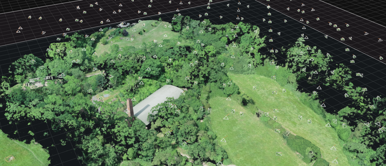
3D RTK Mapping
Working in partnership with LandScope Engineering we are able to offer complex 3d models. Data is captured via a DJI 350 Matric RTK drone equipped with LiDAR & a HiRes photographic camera. On the ground LandScope surveyors use base stations and ground control points to achieve accuracies of just a few centimetres.
M350 in flight
Paul with M350
2d Map Brown Moss Nature Reserve
Brown Moss
2d map Nesscliffe Hill Fort Excavations
Nesscliffe Hill Fort Excavations
Nesscliffe Hill Fort Excavations
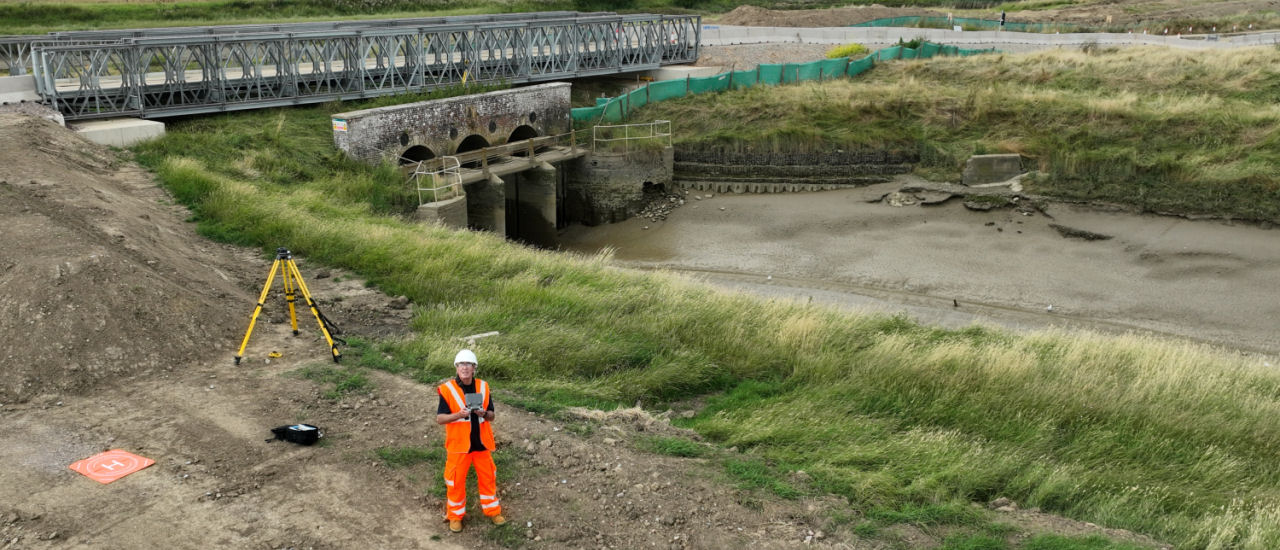
Surveying a weir
Surveying a weir
Survey Flight planning
Survey Flight planning
3d model
Preparing ground control points
Lansdcope surveyors
Lansdcope surveyors
This website uses cookies to improve your experience. We'll assume you're ok with this, but you can opt-out if you wish.AcceptRead More
Privacy & Cookies Policy
Privacy Overview
This website uses cookies to improve your experience while you navigate through the website. Out of these, the cookies that are categorized as necessary are stored on your browser as they are essential for the working of basic functionalities of the website. We also use third-party cookies that help us analyze and understand how you use this website. These cookies will be stored in your browser only with your consent. You also have the option to opt-out of these cookies. But opting out of some of these cookies may affect your browsing experience.
Necessary cookies are absolutely essential for the website to function properly. This category only includes cookies that ensures basic functionalities and security features of the website. These cookies do not store any personal information.
Any cookies that may not be particularly necessary for the website to function and is used specifically to collect user personal data via analytics, ads, other embedded contents are termed as non-necessary cookies. It is mandatory to procure user consent prior to running these cookies on your website.